
St Ives to Lands End
Save
Share
Driven
Navigate

26.9 mi
Distance
41 min
Duration
—
Elev. gain
Top sights
- The Old Vicarage Accommodation
- Trevalgan Holiday Farm Accommodation
- Zennor Quoit Viewpoint
- The Tinners Arms Cafe
Elevation
OpenTopoDataElevation data is not available for this route.
Speed limits
Road trip essentials
Road trip essentials are the gear and supplies that make a long drive safer, more comfortable, and easier to enjoy—navigation and recording kit, cabin comfort for changing conditions, drinkware and snacks, and the small tools you rarely need but are glad to have when something goes wrong.
Recording your journey
Fixed dash views, mountable action cameras, and follow-style aerial shots—always follow UK aviation rules, local restrictions, and common sense near roads.
Dash cam
Footage and peace of mind on scenic stretches.


Action camera
Mountable cameras for suction mounts, brackets, or interior shots—useful B‑roll alongside a dash cam.


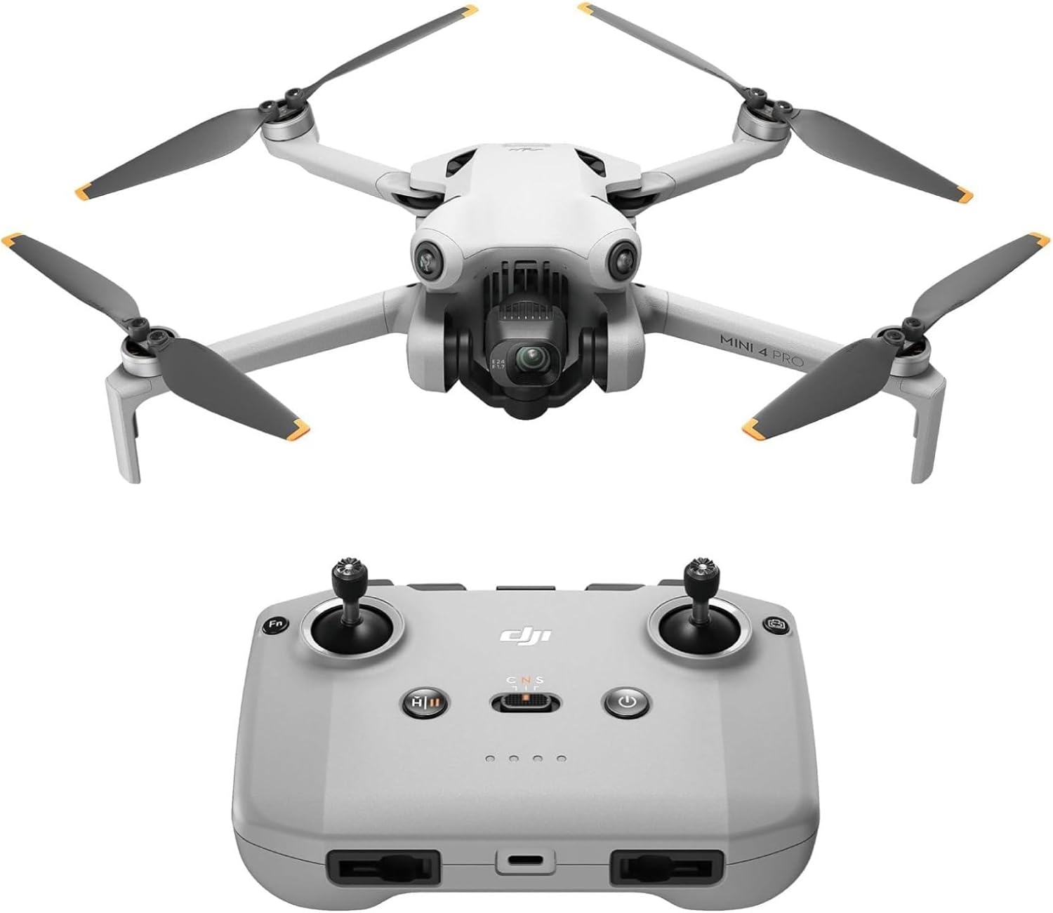
Follow drones
Subject tracking and follow-style shots on the move—only fly where UK aviation rules, manufacturer limits, and common sense allow.


Staying safe
Recovery when you are far from help, tyres after rough lanes or changing loads, and a clear screen on frosty mornings.
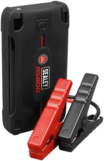
Jump starter
Peace of mind away from town.


Tyre inflator
Pressures after rough lanes or changing loads.


Ice scraper
Winter mornings and high ground.


Powered and connected
Stable phone placement, fast in-car charging, and pocket backup when maps and cameras drain the battery.
Phone mount
Stable navigation within easy glance.


USB-C car charger
Keep phones and accessories topped up on long days.


Power bank
Backup when maps and cameras drain the phone.


Comfort on the road
Small creature comforts that make long driving days and viewpoint stops nicer.
Insulated flask
Hot drinks at viewpoints and picnic stops.


Reviews
Rate this route
Sign in to leave a star rating and a short note for other drivers.
Sign in to review